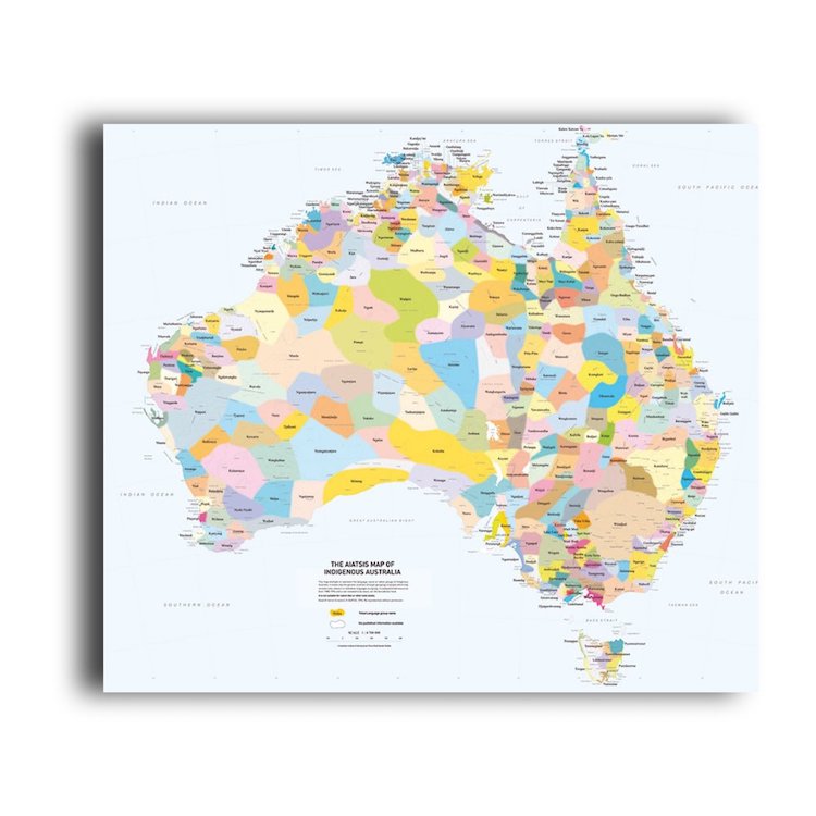
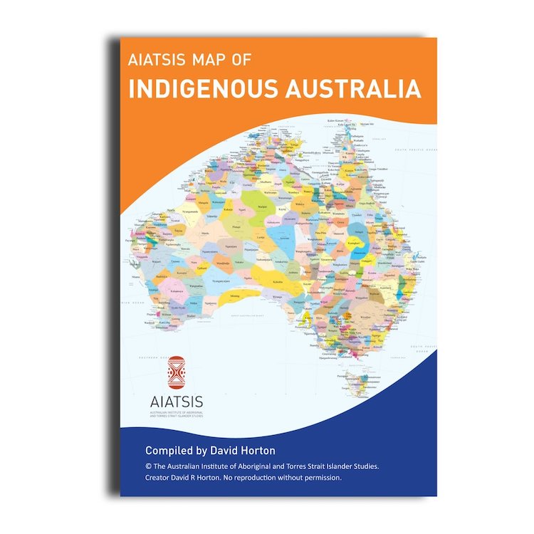
AIATSIS Map of Indigenous Australia
$10.95
Indigenous Australia Map by AIATSIS.
This Map is an attractive educational tool which aims to represent all the language groups of Australia's Indigenous people.
The highly popular AIATSIS map of Indigenous Australia is an ideal souvenir or a resource for student use.
The map is an attempt to represent all the language, tribal or nation groups of the Indigenous peoples of Australia. Aboriginal and Torres Strait Islander groups were included on the map based on the published resources available between 1988 and 1994 which determine the cultural, language and trade boundaries and relationships between groups. Regions were determined using the watershed basis as a template.
The map was developed along with the Encyclopedia of Aboriginal Australia as part of a research project. The Encyclopedia is available in libraries and contains more detailed information about the groups represented on the map.
Over 200 distinct languages, and countless dialects of them, were in use when European colonisation began. While people in some communities continue to speak their own languages, many others are seeking to record and revive threatened ones. Aboriginal and Torres Strait Islander peoples retain their connection to their traditional lands regardless of where they live.
The map was produced before native title legislation and is not suitable for use in native title or other land claims.
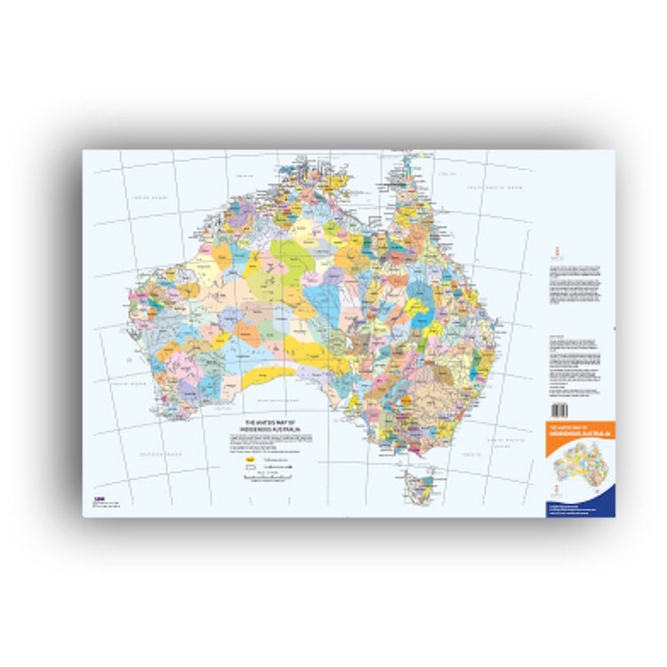
The map is a large-scale printed product available for sale in two formats:
AO Size: 841 x 1189mm
A1 Size: 594 x 841mm
See the drop down menu to view the sizing.
The poster map is printed on 150gsm Silk S150E.
We sell ours flat, you can opt to frame it, or use it as is. You could also fold your map like a traditional road map, for easy storage.
Edited by David Horton the AIATSIS map of Indigenous Australia is copyright AIATSIS.


